Welcome to
Tuba City Regional Health Care Corporation
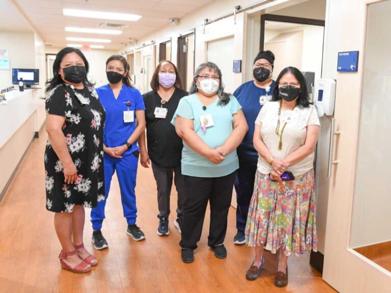
Tuba City Regional Health Care is dedicated to providing the community and patients with the highest level of health care in Northern Arizona. We are proud to be part of this community and organization. Together we care for each other.
“Our Mission is to provide safe, accessible, quality, and culturally sensitive healthcare.”
With Us, It's Always Personal
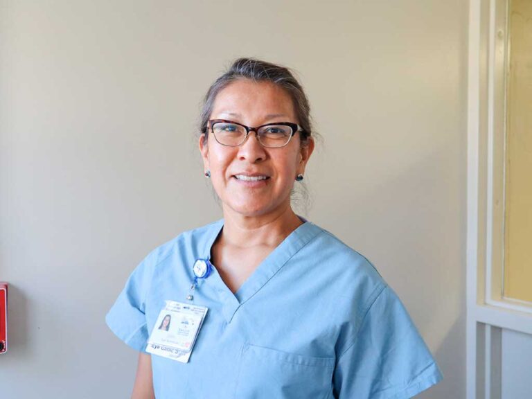
Our providers and professional staff take pride and honor the dignity in all individuals. Our mission is to provide safe, accessible, quality, and culturally sensitive healthcare.
The Highest Quality Healthcare
Joint Commission’s Gold Seal of Approval and accreditation for Acute Hospital, Home Care, Laboratory, and Primary Care Medical Home certification, including a 2-Star rating (3-Star in 2021) by CMS
Improving The Quality of Your Life
We make it easier to access medical care at the community level through our three satellite facilities (Flagstaff, Page, Bodaway) and a mobile medical van that drives out to remote communities.
Leading The Way In Medical Excellence
As a Level 3 (of 5) Trauma Center — the only one outside of Flagstaff in Northern Arizona - and the only Cancer Center across Indian Country outside of Alaska, we promise to uphold a safe environment, dedicated to quality, and a vision of excellence for today and tomorrow.

Certified by the Country's
Most Prestigious Seal of Approval

Patient Safety Is Our Priority,
High Quality Is Our Standard
Tuba City Regional Health Care takes pride in earning
The Joint Commission’s Gold Seal of Approval for
- Home Care
- Hospital
- Laboratory
- Patient Centered Medical Home
Tuba City Regional Health Care demonstrates compliance with The Joint Commission’s national standards for health care quality and safety in disease-specific care.
This accreditation stands testimony to our commitment towards
patient safety and continuous quality improvement.
A Career Opportunity
Come Join Our Team
TCRHCC is accredited by the Joint Commission. The Joint Commission is the nation’s predominant standards-setting and accrediting body in health care.
Patient Centered Medical Home (PCMH)
PCMH is a nationally-recognized primary health care model for children, adolescents and adults.
“You are at the center of your health care.”

Patient Benefits
TCRHCC wants you to know opportunities for uninsured adults and families in the Tuba City Service Unit.
There are plans available for you and your family.
Ask us about the American Indian Medical Home Program that’s offered to American Indians and Alaska Natives (AI/AN) enrolled in AHCCCS.

Public Health
Vaccination Information.
The Safety of our visitors, patients, local communities, employees, and physicians remains our priority.
Pricing Transparency
Here at TCRHCC, we are committed to keeping our patients, community and staff aware of costs associated with medical visits. TCRHCC is participating in the movement to empower patients by providing “Pricing Transparency” for patients who pay for their medical services and medication at TCRHCC. Pricing transparency at TCRHCC will allow patients and their families financially plan and make informed decisions.
News
Community Notice – Sacred Peaks Health Center Pharmacy
Community Notice – Sacred Peaks Health Center Pharmacy The Sacred Peaks Health Center (SPHC) Pharmacy will close early at 5:00 PM on Tuesday, March 17 due to a scheduled water shutoff in
Tuba City hospital adds 48 units of staff housing as workforce grows
The Tuba City Regional Health Care Corporation has opened a 48-unit apartment complex for hospital staff, part of an effort to address housing shortages that have made it harder to
Tuba City Regional Health Care Corporation hosts grand opening for health care workforce housing complex
Tuba City Regional Health Care Corporation (TCRHCC) recently hosted a grand opening for staff housing apartment complex for health care workers at its main campus. Learn more at Arizona Daily
